Can Dew Point Temperature Predict Snowfall?
Many weather enthusiasts, as well as meteorologists, often rely on dew point temperature (commonly displayed on weather station consoles) to predict whether an approaching precipitation band will fall as snow, sleet, or rain. But is this reasoning correct?
Let’s break it down.
The dew point is the temperature at which air must be cooled (at constant pressure) to reach 100% relative humidity (RH = 100%) and be considered as saturated. For example, if the air temperature is 5.5°C, RH is 37%, and the dew point tempreature is -8°C, it means that the air would need to cool down to -8°C for condensation to begin.
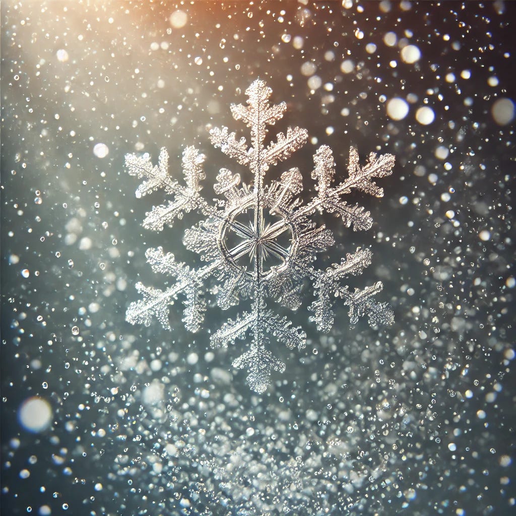
Temperature varies over thin layers near different surfaces, such as roads, pavements, metals, or grass, often leading to localised cooling or warming. The same principle applies to snowflakes in the air, which have their own ‘microclimate’. Unlike other surfaces, the layer of air immediately surrounding a snowflake is always saturated with moisture. Because of this, the temperature around the snowflake is likely to be close to the dew point temperature rather than the ambient air temperature.
Now, let’s apply this concept to our earlier example (air temperature: 5.5°C, RH: 37%, dew point temperature: -8°C and precipitation is approaching). If the snowflakes manage to survive while falling through the atmosphere, eventually reaching the layer 2–10 meters above the Earth's surface, they experience an air temperature of 5.5°C, which would normally be warm enough to melt them. However, because the thin layer of air immediately surrounding each flake is approximately -8°C, this helps protect the snowflake from melting, allowing it to survive.
While the dew point temperature plays a key role in snowflake survival, it’s not the only factor. These are three points we should keep in mind:
1. As a precipitation band moves in, RH typically increases, which in turn raises the dew point temperature and decreases the temperature (here, we should consider for simplicity that no cold advection occurs). If the initial dew point is close to 0°C, it may rise above freezing once precipitation starts falling. When this happens, snowflakes that would have initially survived (till the surface level) may begin to melt, leading to sleet or rain instead of snow.
2. Precipitation forms high up in the atmosphere (typically between 2–10 km, depending on the season and atmospheric conditions). If a snowflake falls through multiple layers of air where the dew point is above 0°C, it will start melting. Thus, even if the dew point temperature at the surface is below freezing, the snowflake may turn into sleet, rain, or freezing rain before reaching the ground.
3. Snowflakes falling through dry air experience higher evaporation rates. Evaporation absorbs heat, cooling the snowflake. This effect can be better described by the wet bulb temperature, which is the lowest temperature air can reach through evaporative cooling. The wet bulb temperature is often used as an alternative method to predict whether a snowflake will melt before reaching the ground.
Concluding, dew point temperature is useful for understanding the environment around a falling snowflake. If all layers of the atmosphere a snowflake passes through have a negative dew point temperature, it is more likely to survive. However, wet bulb temperature accounts for evaporative cooling and helps to determine whether a snowflake will melt or remain frozen, especially in dry air conditions. Thus, while dew point temperature may be a good indicator, it should be used alongside wet bulb temperature and vertical atmospheric profiles to accurately predict snowfall survival and phase transitions.
So, next time you check the weather station console, remember: dew point matters, but it’s not the whole story!


